Drone Roof Inspection in Columbia, MO
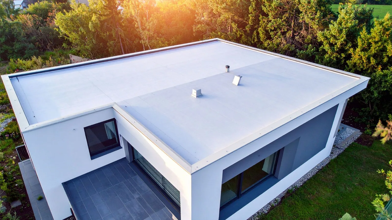
A tall parapet can hide the roof edge from the ground, while an overhead image can show where damage, debris, or standing water appears. In Columbia, we use drone imaging to document broad roof areas that are difficult or inefficient to reach on foot, then connect the images to a labeled roof plan and dated Diligence Notes. The camera can show displaced metal, surface openings, ponding, rooftop equipment, or a pattern of visible wear. A 763 Industrial Park plat identifies an employment-area location, but it does not establish the roof condition at any specific building. It cannot confirm the condition beneath a membrane or prove that a mark is a leak. That distinction matters when imagery is collected across multiple roof areas. The University of Missouri campus inventory includes residence halls, garages, research buildings, and utility facilities, so each building's image record should remain separate. A drone survey can support a hands-on inspection, but the observation method and its limits should remain clear in the record.
What can aerial images help locate?
Images from above can document roof-area layout, surface debris, open equipment zones, visible punctures, displaced edge components, and water that remains after a rain. Multiple roof sections can be labeled and photographed from consistent viewpoints, making it easier for a facilities contact to identify where a close inspection should begin. We include enough context to locate a finding, rather than saving a series of isolated close-ups with no reference to the building. The image log records date, roof area, viewing direction, and the condition that prompted follow-up. Columbia's wet spring and localized summer downpours make post-rain observations helpful when access is limited, though one image captures only the conditions at that time. At a campus or multi-building property, the owner can compare areas without assuming they share the same system or history. A photo-based condition report can pair the aerial view with field observations, while infrared moisture testing may be selected separately when concealed moisture is a question.
Related Roofing Work
More commercial roofing work connected to Drone Roof Inspection in Columbia, MO.
What does the camera not establish?
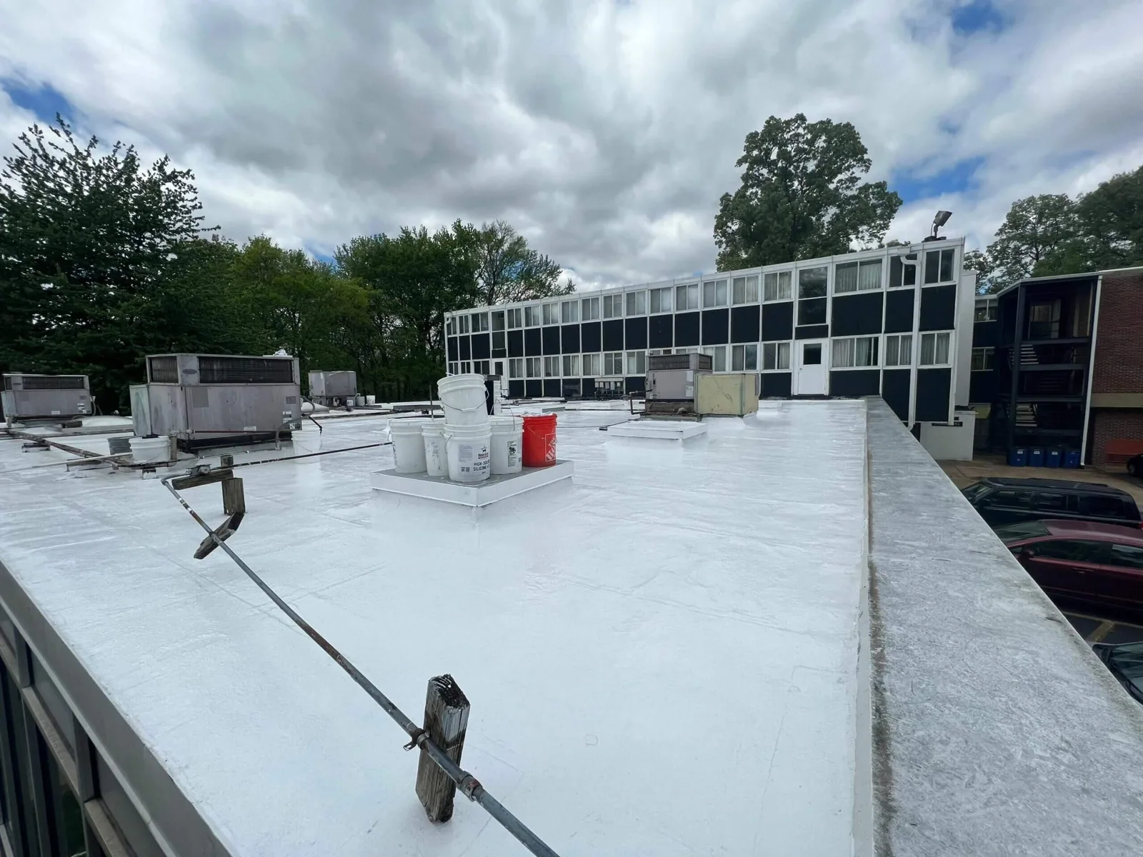
A roof image cannot test a seam, determine whether insulation is wet, confirm that a flashing termination is secure, or reveal the full depth of a crack. Shadows, glare, roof color, camera angle, and surface moisture can also affect how a feature appears. We mark a suspected defect as a point for closer review, not as a confirmed failure. Hands-on access may be needed to inspect welds, fasteners, edge conditions, sealant, and movement under the material. A test cut or other moisture evaluation requires its own authorization and record. The report should say which conditions were directly visible and which remained hidden. That is especially important after a Columbia storm: hail marks or debris patterns in an image can guide a focused visit, but they do not establish that every marked area has functional damage. When a report concerns storm exposure, storm condition review can follow the image survey with close inspection of affected details.
How is a drone visit prepared?
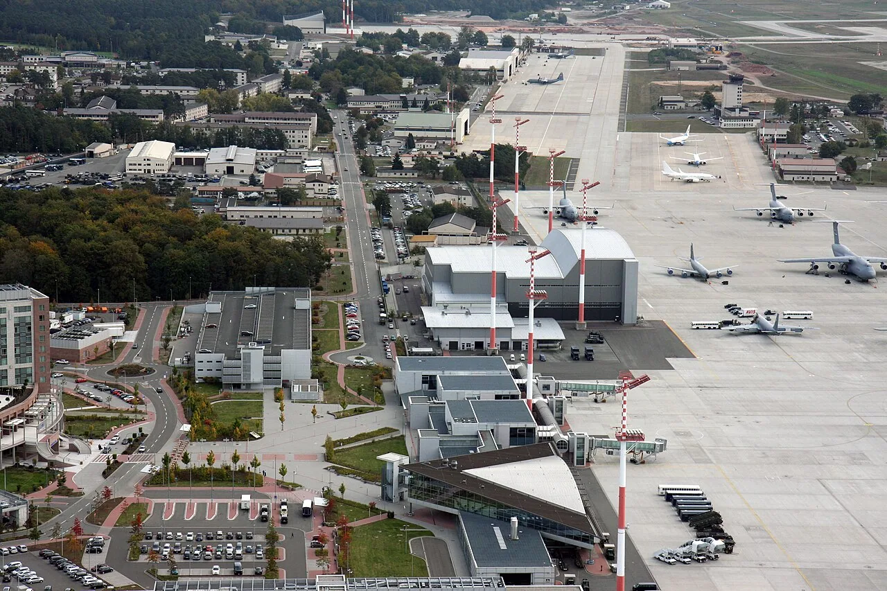
We confirm the building address, roof outline, available plans, access contact, intended image questions, and any site restrictions before scheduling. The launch and landing area must be suitable, and the route should avoid disrupting people or facility operations. Airspace and site permissions are reviewed for the intended location before flight; if the planned view cannot be captured safely or lawfully, we use another inspection method. Columbia Regional Airport is an active commercial airfield with scheduled airline service, so a survey near aviation activity requires careful location-specific review rather than an assumption that flight is available. We also coordinate around building users and roof work already underway. A short, defined objective makes the imagery more useful: map debris after a storm, compare visible roof sections, or document a hard-to-access area for a later hands-on visit. The plan notes what the images can reasonably answer and which conditions need physical access.
How are images turned into a repair decision?
We label each image to a roof section, identify the visible condition, and compare it with the building contact's report and any prior photographs. A suspected opening near a curb can be assigned for a hands-on check; a field of debris can be reviewed for blocked drains; a broad ponded area can trigger drainage observations after the next rain. We do not estimate repair quantities from an image when the limits of view make the measurement uncertain. Instead, the note identifies which locations need access and what the next inspection should answer. Columbia's I-70 Business Loop includes mixed commercial and industrial properties, while the Mizzou Research and Innovation Campus includes Bond Life Sciences Center and research laboratory buildings. These facts describe different settings; the image record still needs to identify the individual building and roof area. Where a close visit confirms a defect, commercial roof repair can be scoped to the observed boundary; broader conditions may call for a replacement evaluation or recover review.
What should the client receive?
The deliverable includes selected images, a roof-area key, capture date, written observations, and a list of locations recommended for closer inspection. We keep original image files with the property record so later reviewers can compare conditions and see the full context. The report distinguishes a visible surface feature from a confirmed defect, and it names blind spots caused by parapets, mechanical equipment, glare, or flight limits. If the survey follows wind, hail, or heavy rain, the date and reported event are recorded separately from the observations. A second flight can be useful for before-and-after comparison, but it does not replace close inspection of repaired details. Owners managing several buildings can use consistent labels to make the records easier to compare while keeping each roof's findings distinct. A follow-up hands-on visit or full roof inspection can resolve questions that an aerial view leaves open.
Deliver images in a sequence that makes a roof area easy to locate: overall view, labeled zone, then close image of the feature under review. Include the capture date, direction, and any obstruction or condition that limited the view. Separate a visible surface change from a condition that requires a hands-on inspection or opening. In Columbia, spring storms may bring hail and tornadoes, while damaging winds become a greater threat later in the warm season. Aerial images taken after an event can help compare broad surfaces and displaced components, but the repair decision still needs evidence at the detail itself. The report should state what the imagery clarified and which question remains open.
Commercial Roofing Questions
Can a drone replace a technician walking the roof?
No. Aerial images help locate and document visible surface conditions, especially where access is difficult. A technician still needs close access to evaluate many seams, flashings, fasteners, and penetrations. The report identifies which conclusions come from imagery and which require a hands-on check.
Can drone images show wet insulation?
A standard visual image does not establish concealed moisture. If the imagery points to a suspected wet area, we can recommend infrared review or a test cut where authorized. The findings should state what was observed, what test confirmed, and what area remains unexamined.
Can you fly over any Columbia property?
The launch area, site rules, weather, and airspace all affect whether a flight can proceed. We review those conditions before scheduling and will change methods when aerial access is not suitable. An active airport or other restricted setting calls for location-specific coordination.
How do we use the images after the visit?
The images work best with roof-area labels, dates, and written notes. A facilities team can direct a closer inspection to a visible concern, compare the same roof area later, or preserve a storm-date record. We do not treat the image set alone as a repair specification.